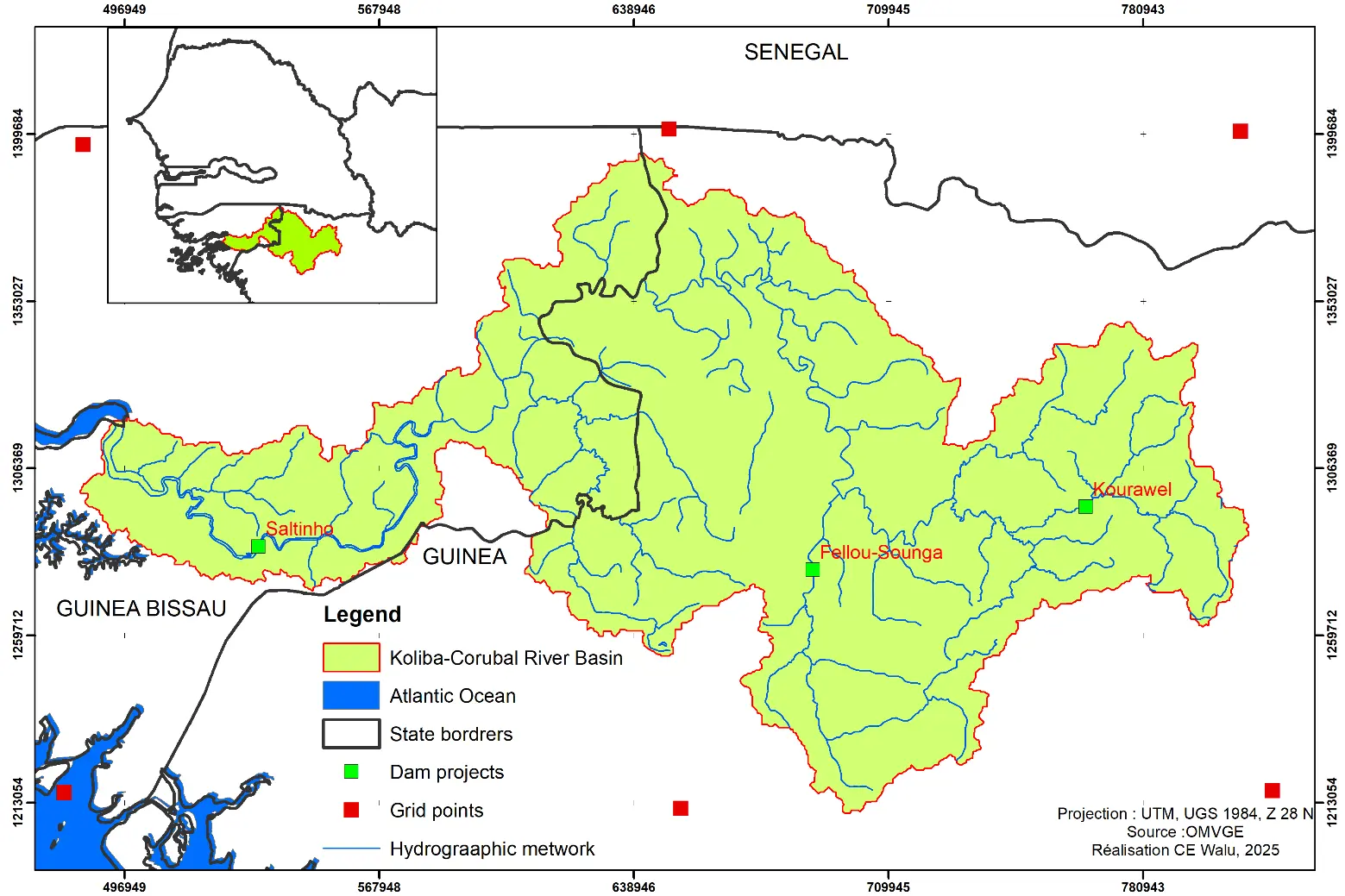
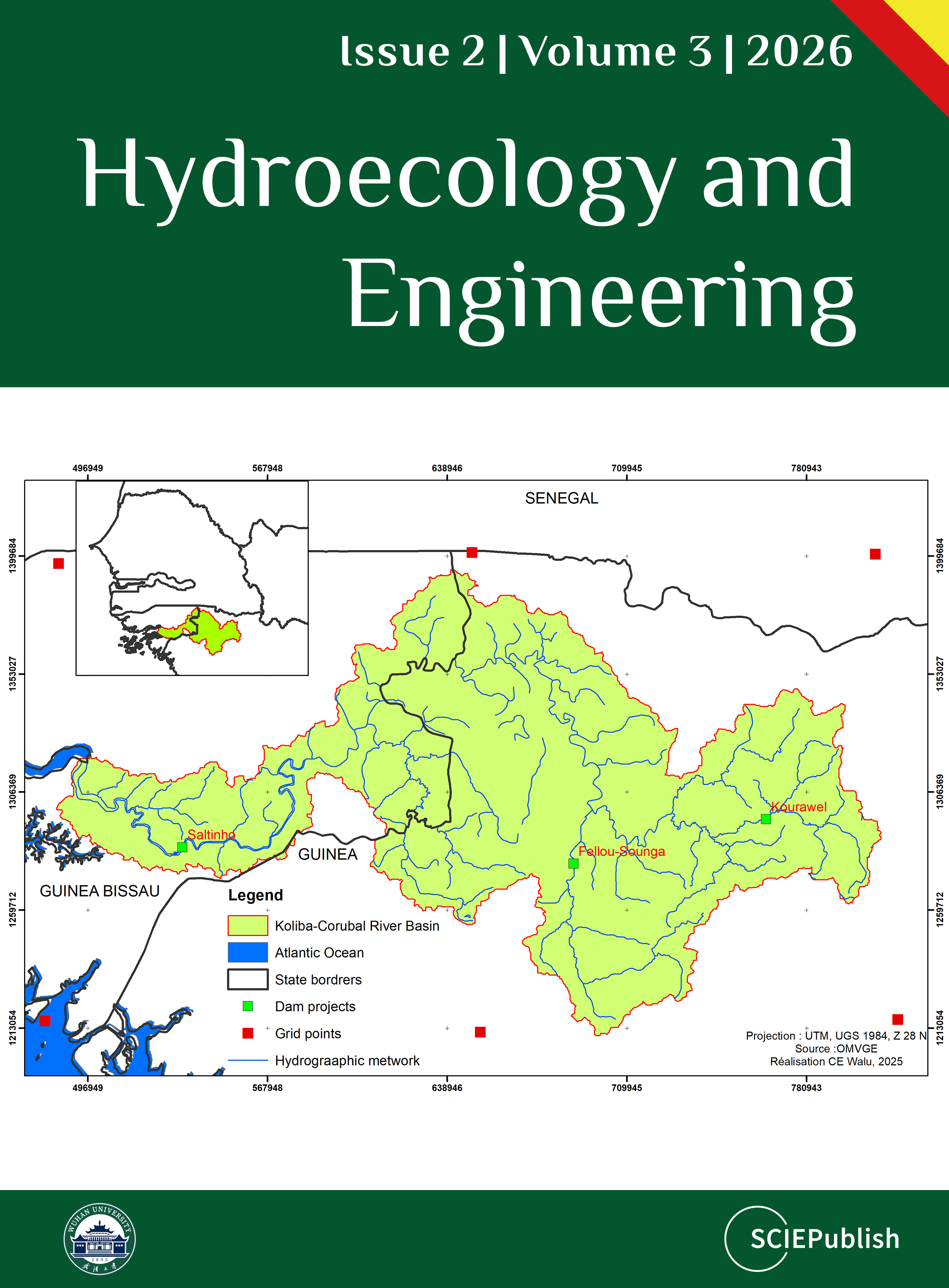
Climate change is exacerbating extreme weather events in West Africa, threatening water resources and livelihoods. The Koliba-Corubal transboundary basin (Guinea-Guinea-Bissau), located primarily outside the Sahel region, constitutes a major freshwater resource for the area. This study analyzes the future daily variability of extreme rainfall and temperatures in this basin using CMIP6 projections. Four climate models (GFDL-ESM4, MPI-ESM1-2-HR, UKESM1-0-LL, IPSL-CM6A-LR) under the SSP1-2.6 and SSP5-8.5 scenarios were used. Six extreme precipitation indices (R99p, Rx3day, Rx5day, SDII, CWD, R20mm) and four extreme temperature indices (TN90p, TNx, TX90p, TXx) were calculated for three time horizons (2021–2050, 2051–2080, 2071–2100) and compared to the reference period 1985–2014. Extreme precipitation decreases considerably in both scenarios (under SSP1-2.6, −45.4% for R99p and −42.0% for Rx3day compared to the reference period 1985–2014), with a marked downward trend at the beginning of the period followed by an increase around 2100 under SSP5-8.5 (R99p: −37.4%; Rx3day: −20.2%). Concurrently, extreme temperatures are increasing significantly, particularly under SSP5-8.5, where TN90p is projected to increase by 169.7% by 2071–2100. Mann-Kendall tests confirm significant trends for most indices under the highest emissions scenario. The spatial distribution shows marked heterogeneity, with higher values in the central mountain areas. These results underscore the urgent need to adapt water resource management strategies and agricultural policies in this transboundary basin in the face of the projected intensification of climate extremes by the end of the century.